
- Aboriginal History
- Cemeteries
- Hospitals
- Hotels
- Maps of the Goldfields
- Military
- Miners
- Miscellaneous
- People
- Places on the Goldfields
- Place Index A-Z
This website is dedicated to the memory of my two dear friends Sandy Duncan and Shyama Peebles who both passed away in 2012.
Kintore > Kintore
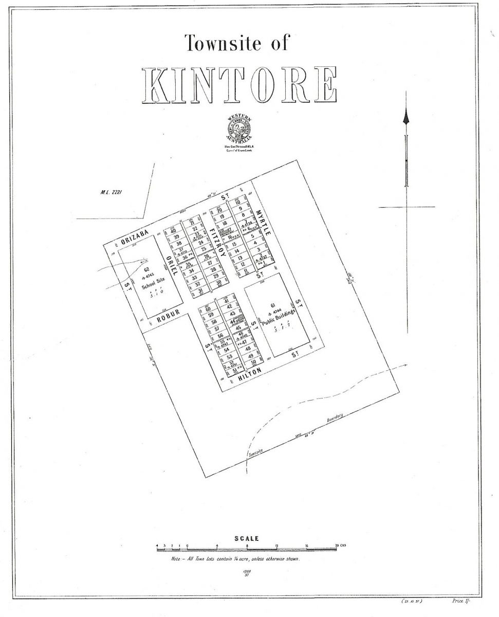
KINTORE
Latitude 30° 36' S Longitude 121° 01' E
Kintore is an abandoned townsite in the eastern goldfields, located about 45 km northwest of Kalgoorlie. Gold was discovered here in the late 1890s, and in 1897 the Kintore Progress Committee sought the declaration of a townsite for their rapidly growing community. The townsite was gazetted later the same year.
The town is possibly names after Kintore in Aberdeenshire, Scotland, as you approach Kintore village from Aberdeen there is a small farm close to the road named Coolgardie, there may well be a connection hereto Coolgardie as well.
| Return to Kintore | Next Record Kintore 1904 Electoral Roll |