

- Aboriginal History
- Cemeteries
- Hospitals
- Hotels
- Maps of the Goldfields
- Military
- Miners
- Miscellaneous
- People
- Places on the Goldfields
- Place Index A-Z
This website is dedicated to the memory of my two dear friends Sandy Duncan and Shyama Peebles who both passed away in 2012.
Place Index A-Z > Widgemooltha > Nannine
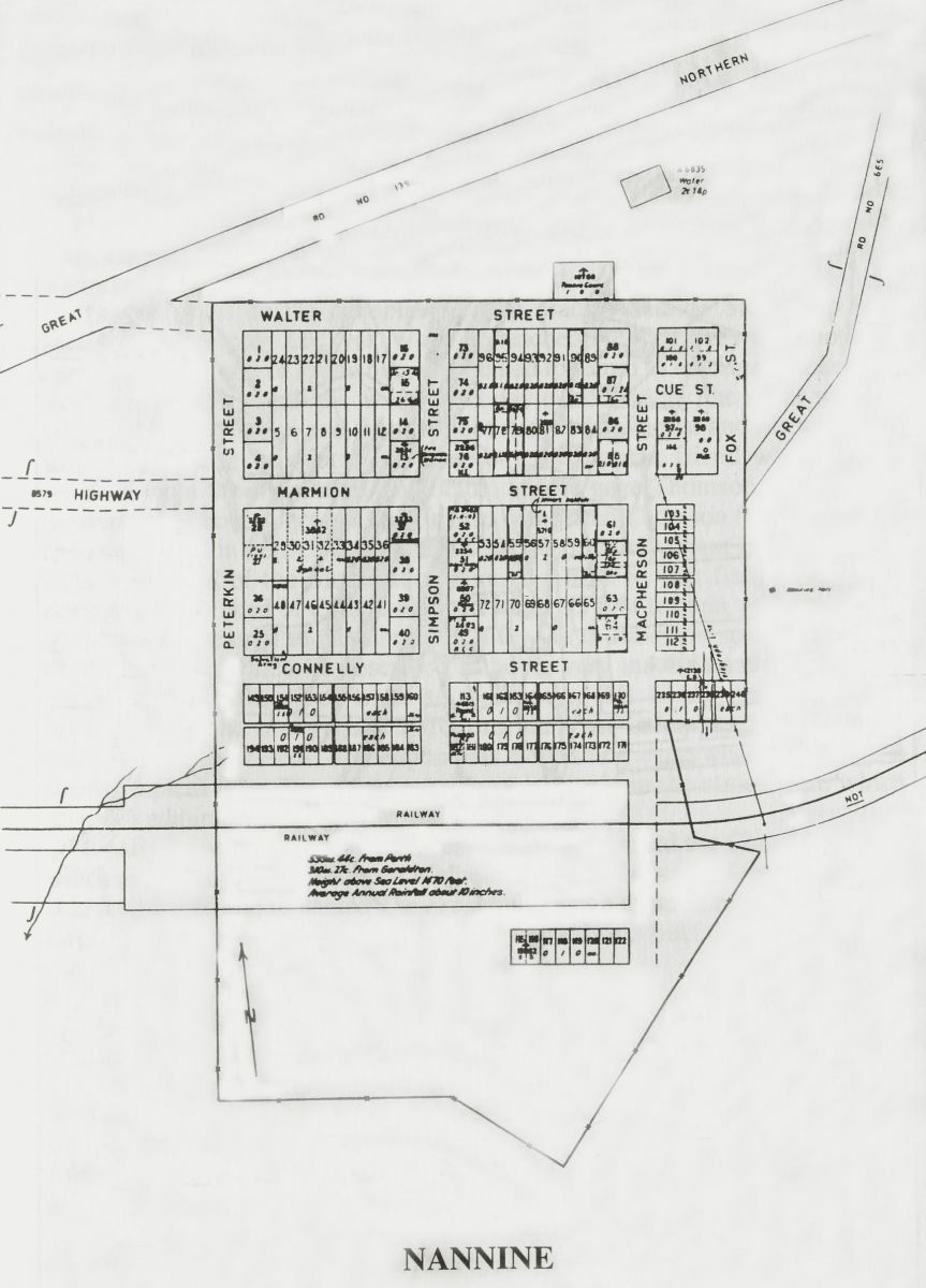
Nannine
Western Australia
The townsite of Nannine is located in the Murchison Goldfields region, 735 km north east of Perth and 30 km south south west of Meekatharra. Gold was discovered in the Nannine area in 1890, the area being rich with gold, and by 1891 was the site of feverish activity. In 1892 John Forrest, the Commissioner for Crown Lands decided to have lots surveyed and a townsite declared, although Forrest referred to the place as "Annean", the name of a nearby pastoral station. When the local miners heard the auction of lots was to be in Perth 85 of them petitioned Forrest to have the auction in Geraldton. The lots were surveyed in 1892, and the townsite named Nanine, as "it is situated 10 miles from Annean Station and 3 miles from Nanine Wells", and was also the name of the proposed electoral district and adjacent gold mining lease. The townsite was gazetted in April 1893. Nannine is an Aboriginal name, "Nannine Wells" being first recorded by a surveyor in 1889. The meaning of the name is not known.
Recommended Reading -
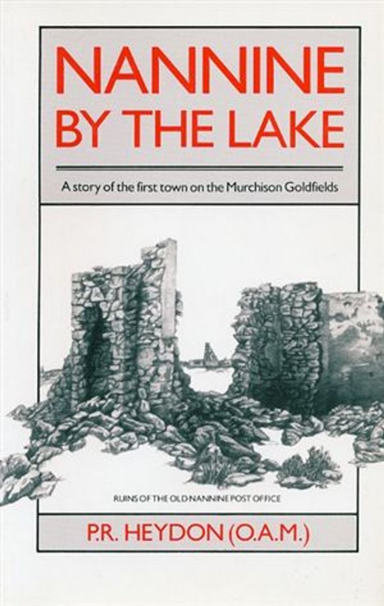
Nanine by the Lake
By P.R. Heydon O.A.M.
Published by Hesperian Press 1990
Pictures and indexed
ISBN 0 85905 137 4
Available from:
Hesperian Press - https://www.hesperianpress.com/
and The Eastern Goldfields Historical Soc - https://www.kalgoorliehistory.org.au/
.png)
Previous Record Murrin Murrin Pictures |
Return to Widgemooltha | Next Record Nannine |